Vatnajökull monitoring |
 |
 |
 |
 |
Alertmap | ||
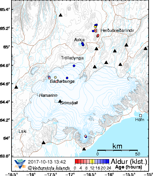
| Earthquake map of Vatnajökull | Location of the monitoring stations around Vatnajökull | Location of river gauges | Grímsvötn: cumulative seismic moment |
|
Grímsvötn: Previous 15 days |
GPS displacement at Grímsfjall since 2006 |
Seismic tremor at Grímsfjalli |
|
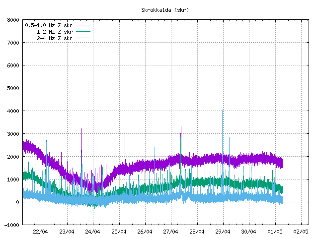
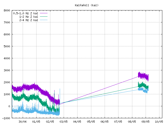
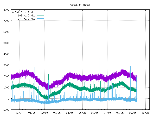
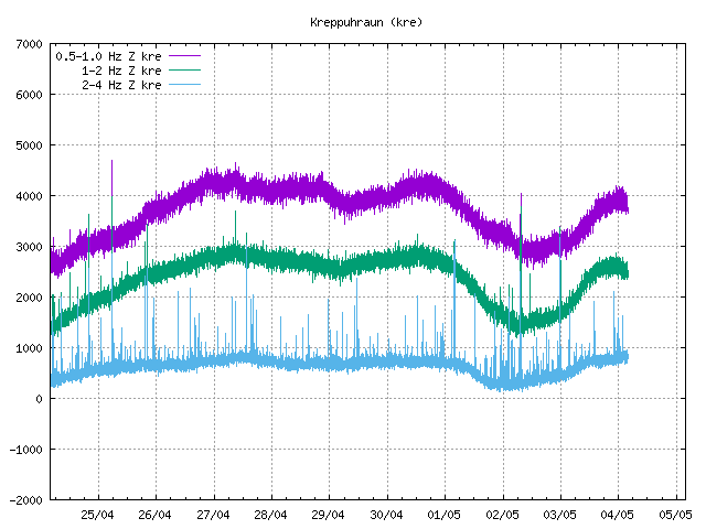
Seismic tremor at SIL stations near Vatnajökull
|
 |
 |
 |
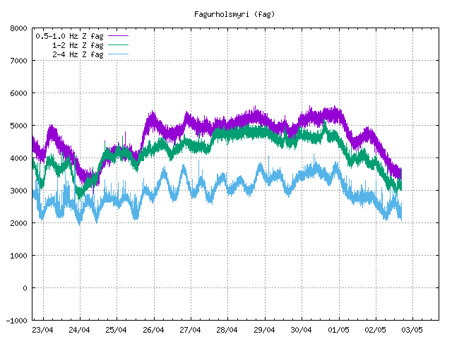 |
| Grímsfjall | Skrokkalda | Kálfafell | Fagurhólsmýri |
 |
 |
 |
|
| Mókollar | Kreppuhraun | Brúarjökull |
Continues GPS measurements around Vatnajökull
Weather radar in Keflavík and Kirkjubćjarklaustur (click on the map for different series)
Satellite images from EUMETSAT where ash plumes might be observed.
Lightning map showing last weeks lightnings in the North Atlantic.
Nordic Volcanological Center, Institute of Earth Sciences.
Last uptated 31.05.2011