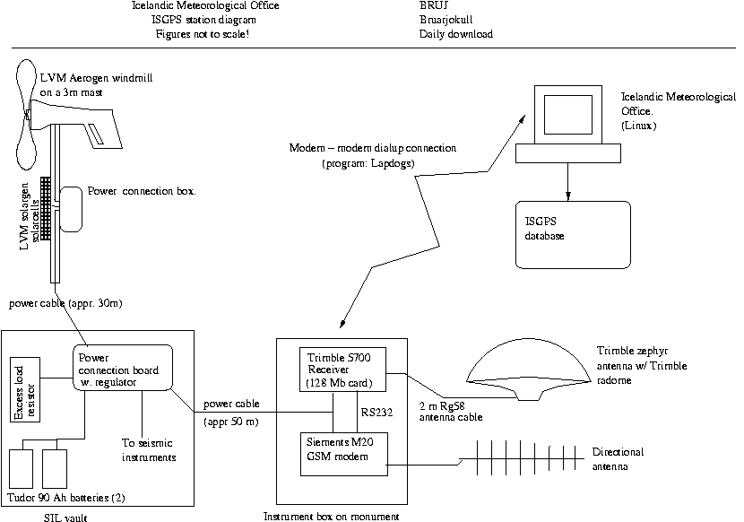
Continuous GPS measurements at BRUJ
General information
The station at Bruarj—kull started collecting data on September 16, 2005.
The station is funded by the National Power company,
intended for monitoring of environmental effects of the KÃrahnjºkar hydroelectric plant.
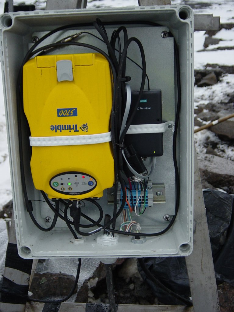
Measurements are made using a Trimble 5700 receiver and a Trimble
Zephyr antenna with a Trimble radome.
The approximate station coordinates are:
64.82926 N, 16.08848 W, and the height above sea level is 748.2 m.
The antenna height from the benchmark to the bottom of the antenna is 1.030 m.
Raw data:
Go to the ISGPS data page
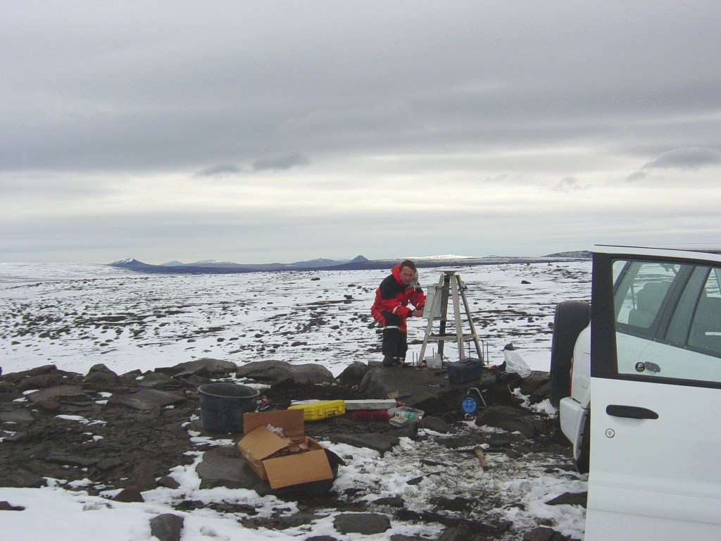
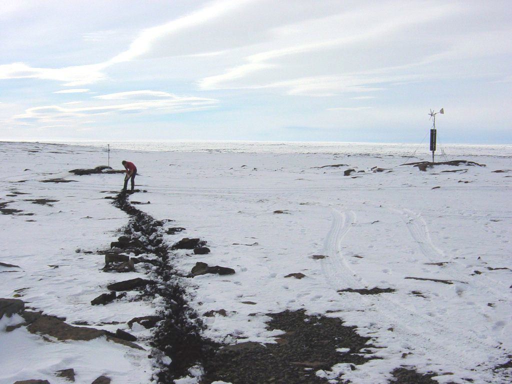
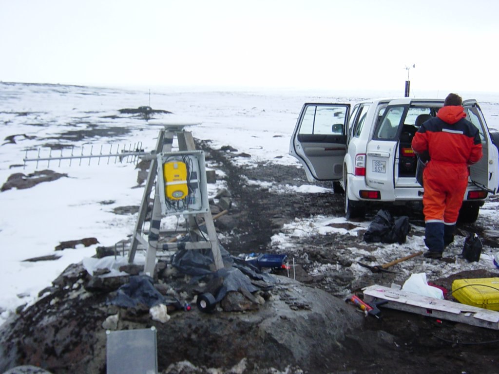
Pictures and diagrams
Results
Displacements of BRUJ in east, north and vertical coordinates (in millimeters)
assuming REYK is stationary:
Back to ISGPS homepage
Halldµr Geirsson (dori@vedur.is),