Continuous GPS measurements at OLKE
General information
The station at Olkelduhals started collecting data on May 25, 1999.
Measurements are made using a Trimble 4700 receiver and a Trimble
Choke Ring antenna.
The station coordinates are:
64.06312 N, 21.21989 W, and the height above sea level is 484.9 m.
The antenna height from the benchmark to the bottom of the antenna is 0.9742m.
Raw data:
Go to the ISGPS data page
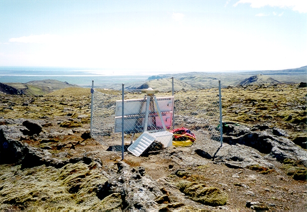
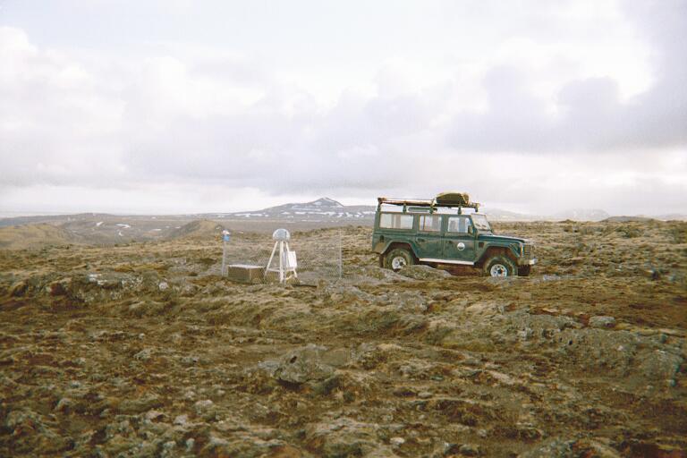
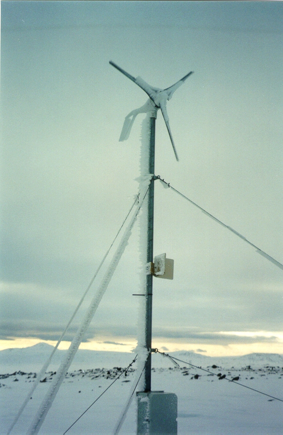
Pictures and diagrams
Results
Displacements at OLKE in east, north and vertical coordinates (in millimeters)
assuming REYK is stationary:
Back to ISGPS homepage
Halldµr Geirsson(dori@vedur.is),