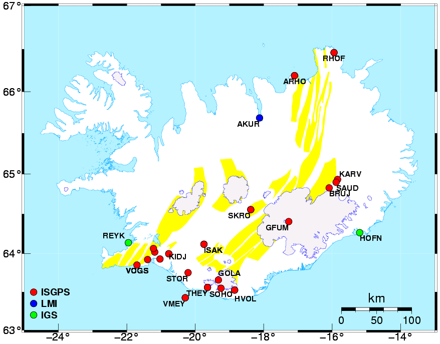
The map above shows locations of GPS stations used in the ISGPS network.
Red circles are ISGPS stations, green circles denote IGS
stations and blue circles denote the station in Akureyri, recently installed by
The National Land Survey of Iceland.
A blowup of the southwestern part of the network is available by
clicking on the southwestern part.