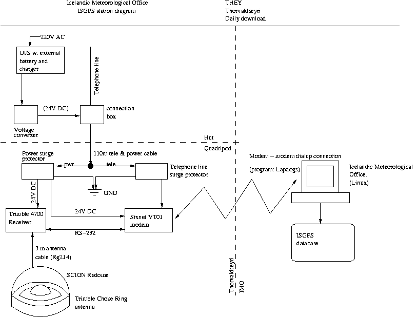
Continuous GPS measurements at THEY
General information
The station at ▐orvaldseyri started collecting data on May 15, 2000.
Measurements are made using a Trimble 4700 receiver and a Trimble
Choke Ring antenna.
The station coordinates are:
63.56147 N, 19.6434 W, and the height above sea level is 129.5 m.
The antenna height from the benchmark to the bottom of the antenna is 1.0271 m.
Raw data:
Go to the ISGPS data page
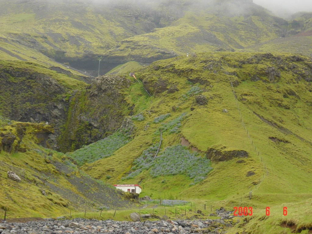
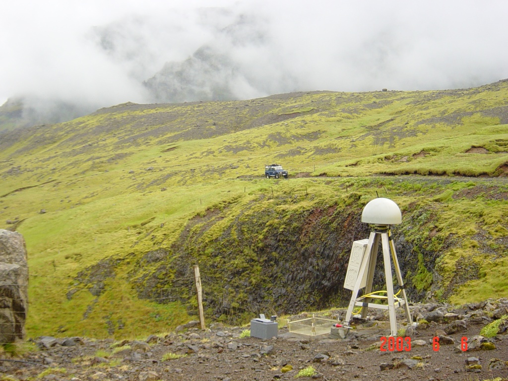
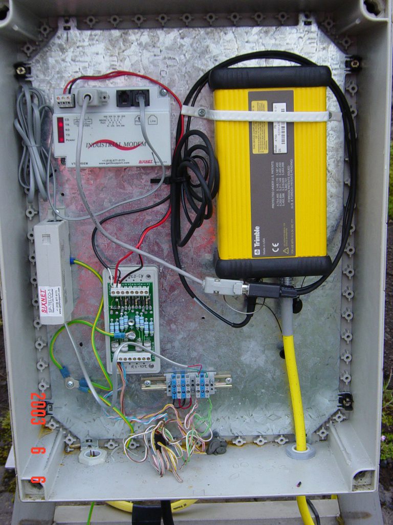
Pictures and diagrams
Results
Displacements at THEY in east, north and vertical coordinates (in millimeters)
assuming REYK is stationary.
Back to ISGPS homepage
Halld¾r Geirsson(dori@vedur.is) ,