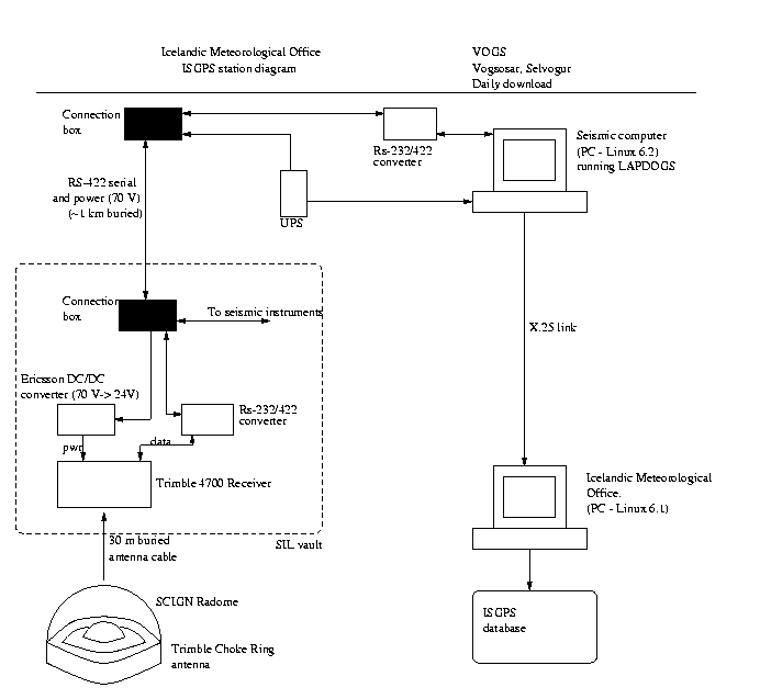
Continuous GPS measurements at VOGS
General information
The station at Vogsósar started collecting data on March 18, 1999.
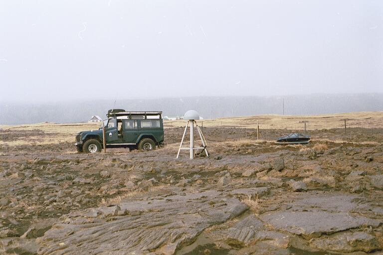
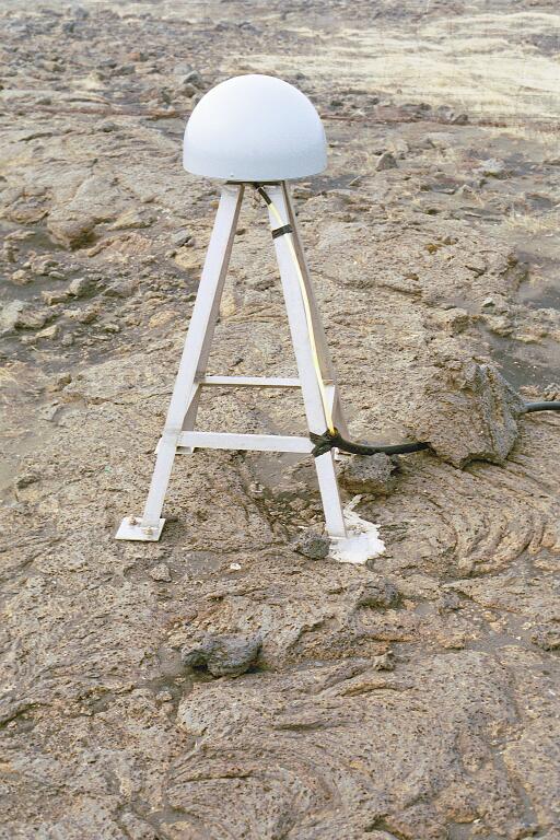
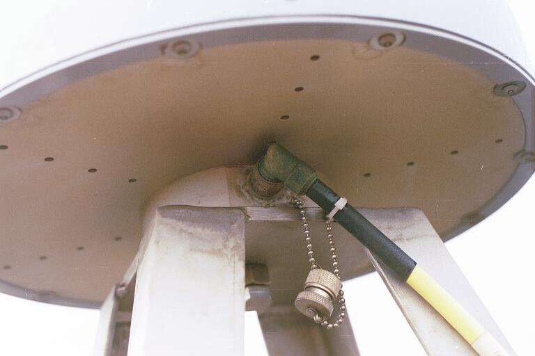
Measurements are made using a Trimble 4700 receiver and a Trimble
Choke Ring antenna.
The coordinates are:
63.85269 N, 21.70365 W, and the height above sea level is 7.6 m.
The antenna height from the benchmark to the bottom of the antenna
is 0.9721 m.
Raw data:
Go to the ISGPS data page
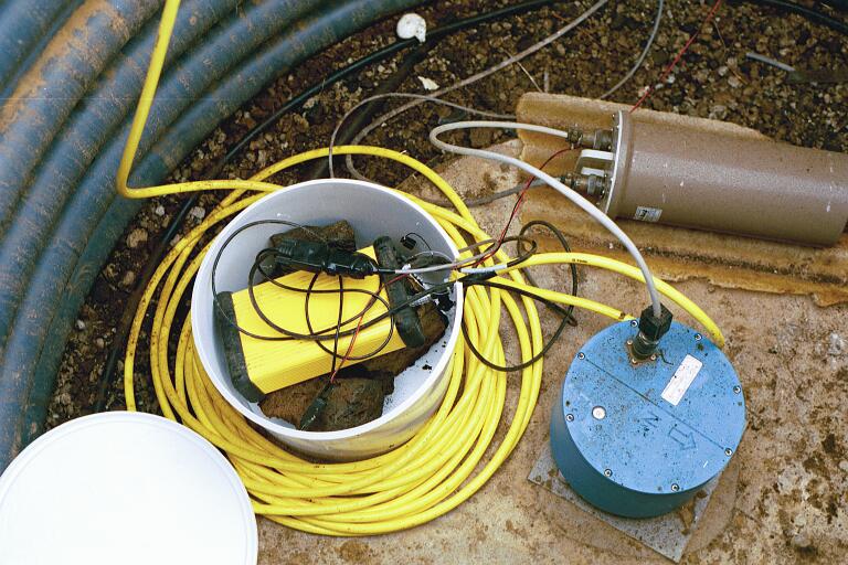
Pictures and diagrams
Results
Displacements of VOGS in East, North and vertical components (in millimeters)
assuming station REYK does not move:
.
Back to ISGPS homepage
Halldór Geirsson (dori@vedur.is)