Continuous GPS measurements at ISAK
General information
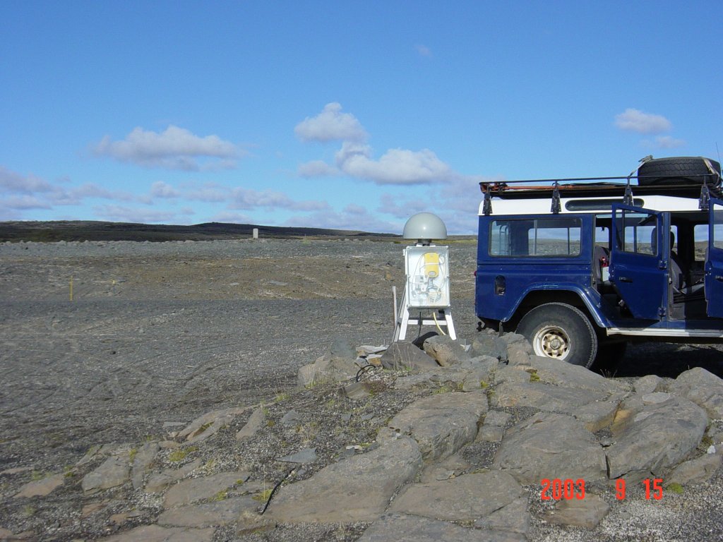
The station at Isakot started collecting data on January 10, 2002.
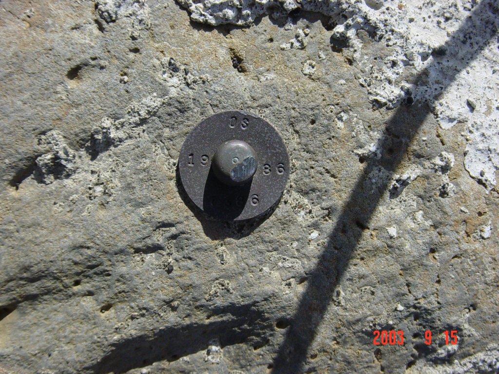
The monument was installed over an existing benchmark from the
National Energy Authority (OS-7386)
which has been used in episodic GPS campaigns since 1986.
The instruments at ISAK were funded by the
National Power Company of Iceland.
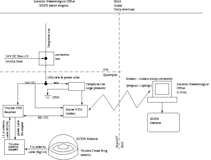
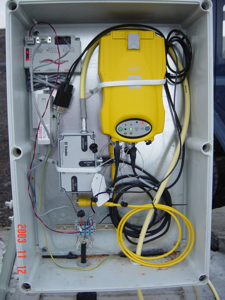
Measurements are made using a Trimble 5700 receiver and a Trimble
Choke Ring antenna.
The station coordinates are (approximately):
64.1193 N and 19.7472 W.
The antenna height from the benchmark to the bottom of the antenna is 1.0047 meters.
Raw data:
Go to the ISGPS data page
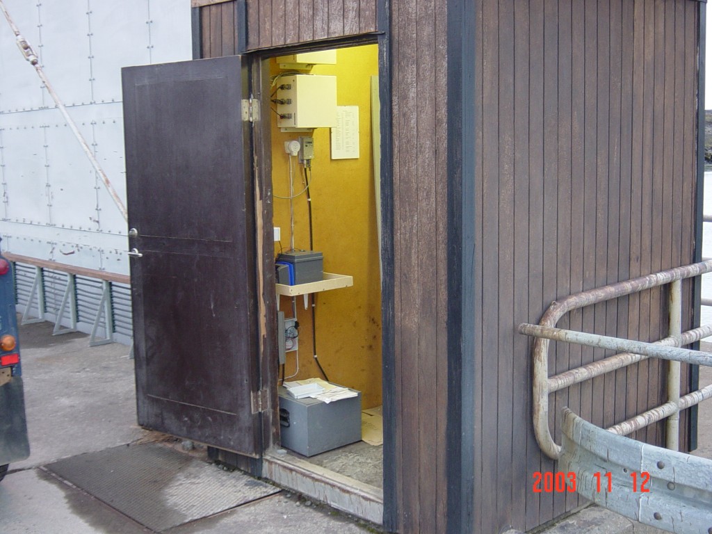
Pictures and diagrams
Results
Displacements at ISAK in east, north and vertical coordinates (in millimeters)
assuming REYK is stationary:
Back to ISGPS homepage
Halldór Geirsson (dori@vedur.is)